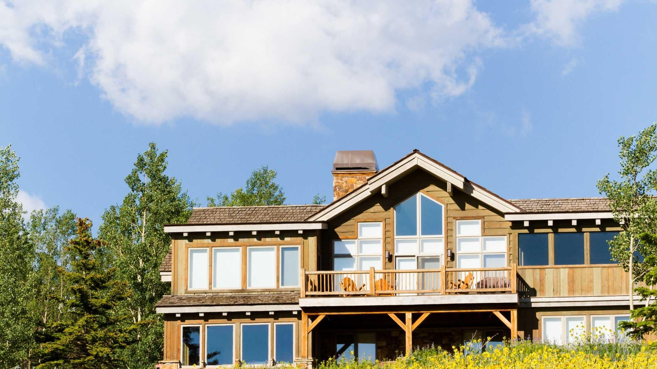
About Littleton
Littleton lies on the South Platte River in the Colorado Piedmont region of the Great Plains a few miles east of the Front Range of the Southern Rocky Mountains. Most of the city lies on the east side of the river. Several small tributaries of the river flow northwest through the city; from north to south, these include Big Dry Creek, Slaughterhouse Gulch, Lee Gulch, and Dad Clark Gulch. In addition, there are several small lakes and reservoirs located along the river in the southwestern part of the city. Immediately west of the river are Cooley Lake, Bufflehead Lake, South Platte Reservoir, Eaglewatch Lake, Redtail Lake, and Blackrock Lake. East of the river lie Wolhurst Lake and McLellen Reservoir which is fed and drained by Dad Clark Gulch. Chatfield Reservoir lies immediately southwest of the city.
According to the United States Ce
…
Littleton lies on the South Platte River in the Colorado Piedmont region of the Great Plains a few miles east of the Front Range of the Southern Rocky Mountains. Most of the city lies on the east side of the river. Several small tributaries of the river flow northwest through the city; from north to south, these include Big Dry Creek, Slaughterhouse Gulch, Lee Gulch, and Dad Clark Gulch. In addition, there are several small lakes and reservoirs located along the river in the southwestern part of the city. Immediately west of the river are Cooley Lake, Bufflehead Lake, South Platte Reservoir, Eaglewatch Lake, Redtail Lake, and Blackrock Lake. East of the river lie Wolhurst Lake and McLellen Reservoir which is fed and drained by Dad Clark Gulch. Chatfield Reservoir lies immediately southwest of the city.
According to the United States Census Bureau, the city has a total area of 13.87 square miles (35.9 km2) of which 12.98 square miles (33.6 km2) is land and 0.89 square miles (2.3 km2) (6.4%) is water.
As a suburb of Denver, Littleton is part of the Denver-Aurora metropolitan area and the Front Range Urban Corridor.[24] It shares a border with Denver and Englewood on the north, Greenwood Village on the northeast, Centennial on the east, Highlands Ranch on the south, Columbine and Columbine Valley on the west, and Bow Mar on the northwest.
Unlike most county seats of suburban counties, Littleton is on the same house numbering grid, including its downtown, as the major city, in this case, Denver.
wikipedia.org
Read More ▾Littleton Sales Data
Residential Sales
+0%
Percentage change from latest quarter vs same time period previous year
Median Sale Price
$0
Data compiled using 3rd quarter 2021 data vs. same period from 2020
Median Sales Price
Q3
2021
MEDIAN SALES PRICE
MEDIAN SALES PRICE
$565.0k
+
0%
From Q2
2021

$535.0k
0
$460.8k
0
$417.2k
0
Demographics
- Filter by:
- Population
- Income
- Education
- Market Rents
Population by Age Level. Median Age 43.05. Households: 19,730.
In Thousand of Dollars. (Median Income: $74,602)
Population by Education Level
Fair Market Rents